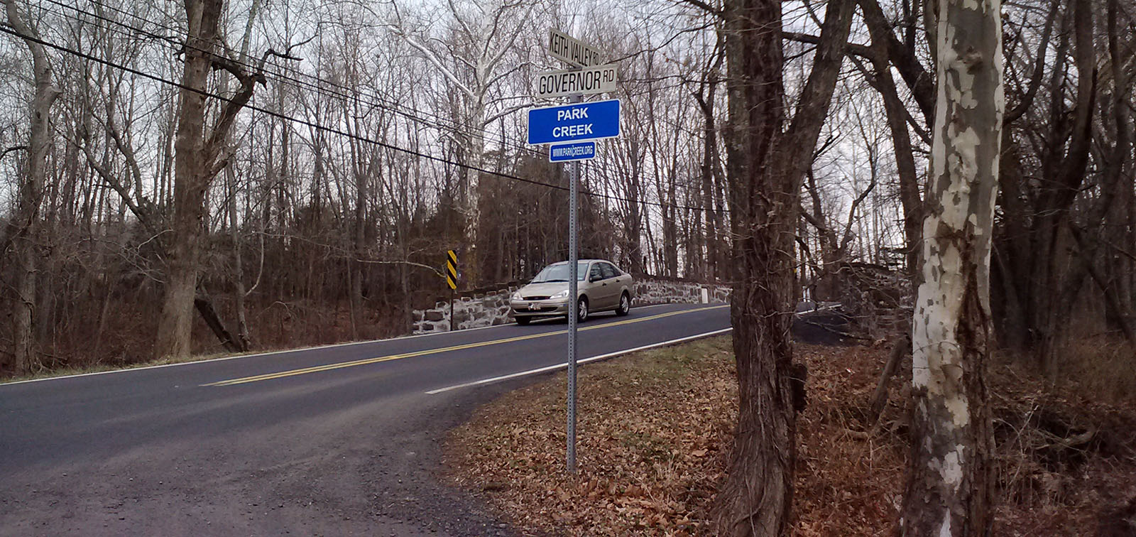

Keith Valley Road
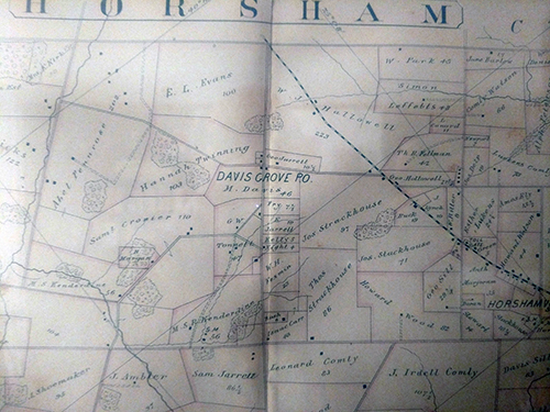
Keith Valley Road, which currently extends north from Horsham Road to County Line Road, was originally a path connecting Sir William Keith's Fountain Low (Graeme Park) to the Kenderdine Mill.48 . An 1893 map of Horsham shows Keith Valley Road either as a road or a path going from Davis Grove Road across the Kenderdine Mill Stream and across Park Creek near Governor Road and extending to County Line Road. It was extended from Davis Grove Road to Horsham Road sometime in the 1990s.
The Kenderdine Mill at what is now Keith Valley Rd and Davis Grove Road was opened in 1736 and was connected to nearby Graeme Park by a path which which was probably built about that time. The Kenderdines laid out Davis Grove Rd was laid out as a path to Horsham Road in 1735 and this road was extended to the village of Davis Grove in 1745. Keith Valley Road remained a path perhaps until 1907 when the bridge over Park Creek was built. Most of the land on both sides of this road were part of Graeme Park until 1966 when Welsh Strawbridge sold the last remaining parcel (78.44 acres) north of the road to RO-MYNALO.137
A petition to build a bridge over the creek had been presented on February 12, 1843 but a cost analysis presented a month later determined that $3000 for a Stone Arch Bridge and $1500 for a bridge of stone and wood were too expensive.137
The bridge over Park Creek just next to the intersection with Governor Road, was built in 1907 so that its probably when the path was transformed into a road.
FROM THE 1996-2001 PENNSYLVANIA HISTORIC BRIDGE SURVEY:
The 2-span, 78'-long, 28'-wide stone arch bridge is laid up in random coursed ashlar. It has matched ring stones. The parapets finished with stones set in a crenellated pattern date from 1941 when the bridge was widened with a reinforced concrete arch extension to the downstream side. The stone arch intrados has been shotcreted. The bridge is an altered example of a type and design that is common in the county, and it is not historically or technologically significant. (49)
Due to its proximity to a runway on the former WGNAS , Keith Valley Road has, unfortunately been the site of several tragedies involving aircraft from the base.
Green Hill Day Camp Tragedy
The Green Hill Day Camp operated along Keith Valley Road from 1957 to July 1963 when it became the site of what is probably the worst tragedy in the history of Horsham. A Navy Fury jet lost control and crashed into a Sunday picnic killing 8 people and injuring 17 more as the plane lost its wings as it plowed through trees and then hit a bath house sideways where the picnickers were waiting out a sudden thunderstorm. more at Green Hill Day Camp
A10 Crash 1997
A National Guard A10 Warthog piloted by Lt Col Joost Van Bastelaar crashed into the fence surrounding the WGNAS along Keith Valley Road on March 29, 1997, killing the pilot. The plane hit the fence significantly short of the runway (Philadelphia Inquirer March 29, 1997 page 13, column 5 and April 1, 1997 page 26 column 2)